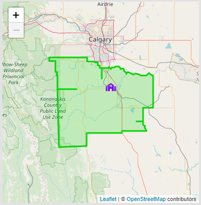
In addition to information reports, BusPlanner Web can display maps for visual reference. There are two types of maps that might be displayed - OpenStreetMap or BusPlanner Maps.


OpenStreetMap vs BusPlanner Map display.
 Map Information
Some of information that BusPlanner Web can display on maps includes: •location of addresses •bus stops •schools •access points •school attendance boundaries •districts (or boards) These items are displayed on the road network. Each of these items, as well as the road network itself, reflects objects from the BusPlanner source database. •Both the location and style of the objects are taken from that database. •When BusPlanner Web displays a map, it will identify any relevant BusPlanner objects to display depending on what information was requested. For example, if a user looks for address eligibility, the map would display the school and school boundary. •BusPlanner Web can also display topographic layers for purely visual reference items such as labels for roads and towns, rivers, parks, rail ways and aerial imagery. |
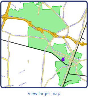
 BusPlanner Maps - View Larger Map Option
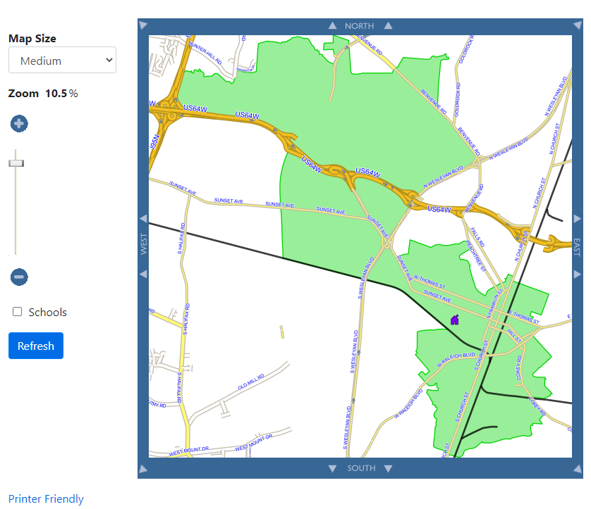
The View Larger Map option displayed below any map gives the user access to a map where they can zoom in or out, pan around the map or display additional objects:
|
 BusPlanner Maps - Printer Friendly Map
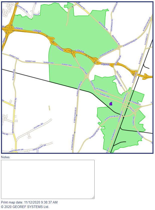
The Printer Friendly Map link will open up a new tab which allows users to print the map more easily. A Notes section will appear below the print view. Comments added in this section will print with the map:
|

